If you’re planning a self-drive safari or road trip in Uganda, the app you navigate with matters more than it does in most countries. Uganda’s highways are well signposted, but the moment you turn off onto a rural road, a park track, or a route to a remote lodge, phone signal thins out and road data quality starts to matter a lot. This guide compares Google Maps and Maps.me for driving around Uganda, so you know which to lean on — and why most experienced self drivers in Uganda end up carrying both.
The Short Answer
Use Google Maps as your primary navigation app for driving in Uganda — it has better search, more accurate ETAs on major roads, live business listings, and a familiar interface. Use Maps.me (or its more actively maintained forks, Organic Maps and CoMaps) as your offline backup, since it’s built specifically for zero-connectivity use and often has better detail on the small dirt tracks and park roads that Google sometimes misses. Google Maps’ offline mode is solid for roads and general navigation, but many self-drive travelers in Uganda also carry Maps.me as a backup because it includes detail on smaller tracks that Google sometimes overlooks.
How Each App Actually Works in Uganda
Google Maps
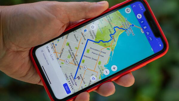
Google Maps is the app almost every visitor already knows, and its strength in Uganda is on the main highways: Kampala–Entebbe, Kampala–Jinja, Kampala–Mbarara, Kampala–Gulu, and the routes into the bigger towns. These roads are generally well signposted and Google’s road network and business data are decent along them.
Where it gets weaker:
- Offline maps won’t provide real-time traffic updates or road conditions once you’re off the grid, and downloaded offline maps typically expire after about a year unless updated, so a map downloaded on a previous trip may be stale.
- Google Maps may not always reflect the most recent changes in road conditions or routes, especially on remote tracks — a real issue in a country where roads are actively being upgraded and rerouted.
- Accuracy is generally good for major roads and highways, but smaller roads and newly constructed routes may not be perfectly updated in offline maps.
- Google’s offline mode is driving-focused; it’s less reliable for the walking/foot-path detail you sometimes need around trekking trailheads or village routes.
A crucial planning tip from experienced Uganda self-drivers: mapping apps in Uganda tend to underestimate travel time, sometimes by 30% or more on rural and park roads, so you should treat any app’s ETA as a floor, not a promise.
Maps.me
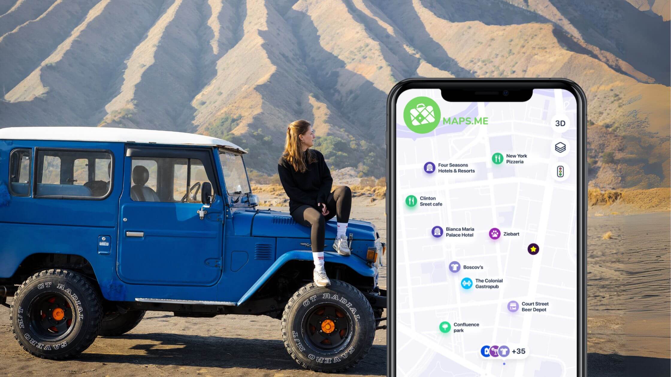
Maps.me is built on OpenStreetMap (OSM) data — a crowd-mapped, community-maintained database rather than a corporate one.Google and HERE rely on proprietary commercial data maintained by survey fleets, while OpenStreetMap is maintained by more than 9 million contributors worldwide, which often produces more accurate data in rural regions of Africa than commercial alternatives. Because a portion of Uganda’s rural roads, park tracks, and footpaths have been mapped by local OSM contributors, Maps.me can genuinely out-detail Google Maps in exactly the areas where you need it most.
Maps.me’s other core advantage is that it’s a true offline-first app: it provides offline maps of every country in the world based on OpenStreetMap data, and its basic functionality is free to use, with a reputation as a traveler favorite for years thanks to lightweight map downloads and reliable offline performance.
The catch: Maps.me isn’t quite the app it used to be. The developers stopped releasing source code and have pushed more features behind a paywall, which has led much of the OpenStreetMap community to recommend Organic Maps or CoMaps as replacements, and the OSM community has documented cases where Maps.me’s own data submissions have degraded OpenStreetMap data quality. If you want the same offline-first, OSM-based experience without the subscription push, Organic Maps is the actively maintained, open-source alternative built by former Maps.me contributors, using the same map style and data.
Side-by-Side Comparison
| Factor | Google Maps | Maps.me (or Organic Maps) |
|---|---|---|
| Best for | Highways, towns, cities, business search | Rural roads, park tracks, remote lodges |
| Data source | Proprietary Google data | OpenStreetMap (crowd-sourced) |
| Offline mode | Yes, but driving-only and expires periodically | Yes, built for offline-first use, no expiry |
| Search & POIs | Excellent — hotels, restaurants, fuel stations, reviews | Good but sparser, especially outside cities |
| Live traffic | Yes, when online | No — never has live traffic |
| ETA accuracy on dirt/park roads | Often optimistic | Similarly optimistic, but road existence is often more accurate |
| Interface familiarity | Very high (most travelers already use it) | Requires a short learning curve |
| Cost | Free | Free (Maps.me pushes a paid tier; Organic Maps is fully free) |
Practical Setup for Driving in Uganda
- Download offline maps for both apps before you leave home or Kampala, while you still have strong Wi-Fi — data connectivity thins out fast outside the capital.
- Update your Google Maps offline downloads if it’s been more than a few months since your last trip; stale offline data is a common source of wrong turns.
- Use offline mode for navigation in areas with poor signal, since your pre-downloaded maps allow uninterrupted guidance even where cell coverage disappears.
- Cross-check junctions on rural and park roads against both apps if you have a moment of signal — where they disagree is often exactly where local knowledge (a park ranger, lodge staff, or your driver-guide) is worth more than either app.
- Cell coverage is decent along Uganda’s main highways and in larger towns, but thins out or disappears entirely inside national parks and in remote western and northern regions, so don’t count on switching to online mode mid-route.
- Carry a physical backup. Bring a detailed physical map of Uganda as a backup, especially for remote routes< — batteries die, phones break, and a paper map or printed route sheet costs nothing to carry.
- If your rental company offers a car with a built-in GPS unit, take it. Reputable operators increasingly include one as standard, especially for extended multi-park itineraries, and it’s one more layer of redundancy.
- Manage battery. GPS navigation drains phones quickly; a car charger or power bank is essential for a full day of driving between parks.
Bottom Line for Self-Drivers
Neither app alone is fully reliable everywhere in Uganda, and that’s the real takeaway. Google Maps wins on the paved highways and in towns where you want restaurants, fuel stations, and accurate ETAs. Maps.me (or Organic Maps) earns its place in the glove box for the unpaved stretches into Bwindi, Kidepo, or a remote lodge, where OpenStreetMap’s community-mapped tracks can succeed where Google’s commercial data runs thin. The safest approach — echoed by nearly every experienced Uganda self-drive operator — is to run both, treat every ETA as optimistic, and keep a paper map as the fallback of last resort.
Are planning a self drive safari in Uganda and wondering where to use Google Maps or Maps.me, we at Uganda Car Rental Deal highly recommend installing both. You can book a rental car online today by contacting us via info@ugandacarrentaldeal.com or call us now on +256-779232316.